 BURST
BURST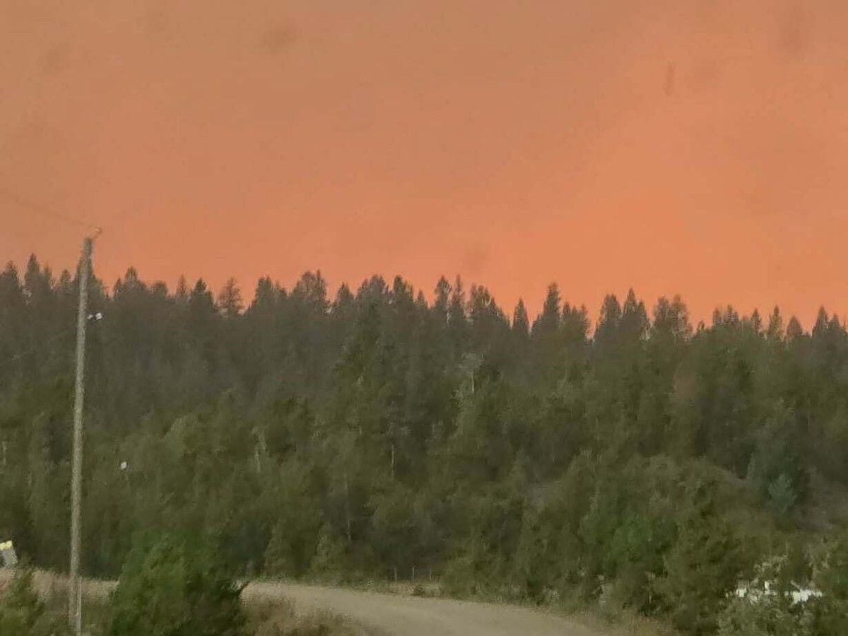
B.C. fire officials are warning that a cold front passing over parts of B.C. ravaged by wildfires could cause extreme fire behaviour this weekend.
The cold front may bring stronger winds and changing weather, the B.C. Wildfire Service said in an update Saturday.
The Pear Lake wildfire north of Clinton has grown to more than 900 square kilometres, according to the service. That blaze has forced thousands of residents from their homes and destroyed some properties.
Fire officials said they expect winds gusting as high as 45 km/h Saturday, “making wind directions difficult to forecast.” There’s also a chance of a thunderstorm which could cause “erratic winds from various directions.”
Tanmay Rane, a meteorologist with Environment and Climate Change Canada, said if there are thunderstorms, the wind gusts could reach 90 km/h. He said the cold front has already brought some rain to the Cariboo region, however an upper trough, which is colder air over hotter air at the surface, will likely create instability and thunderstorms.
Rane said cooler daytime highs in the mid-teens to low 20s in the Cariboo will likely start to climb again on Monday.
A cold front sounds like it would be welcome relief for firefighters after days of hot and dry weather, but according to Matt McDonald, lead fire weather meteorologist with the B.C. Wildfire Service, these fronts tend to come in “quite aggressively” with a lot of wind. In the summer they can often be dry with thunderstorms and no precipitation, and can bring lightning, sparking new wildfires.
More than 1,800 properties remain on evacuation order and hundreds more are on alert in the area.
There are more than 100 wildfires burning across B.C., with nearly half considered out of control.
High winds were also expected in the Fraser Canyon, where the Brunswick Complex wildfires has all residents of Boston Bar under evacuation order. Wind gusts of up 70 km/h were expected, according to the B.C. Wildfire Service.
More to come…
Related